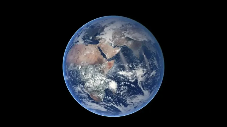
The Earth is enormous, so much so that current precision systems have a margin of error of a few centimeters. This is impressive, a milestone in the history of humanity. Or so we mortals think, at the ESA they do not tolerate a margin above a millimeter.
The European Space Agency has committed 76.6 million euros for the development of Genesis, a flying observatory that will provide millimeter-precision positioning services.
It is expected that Genesis will provide the International Terrestrial Reference Frame (ITRF), a global coordinate system that accurately defines the positions and movements of the Earth, down to that single millimeter of accuracy with a long-term stability of 0.1 mm per year.
A perfect precision that adapts to the future needs
To do this, the satellite will have on board the main Earth measurement techniques, such as: satellite navigation, very long baseline interferometry, satellite laser measurement, and a system that uses the Doppler shift of radio signals between ground stations and satellites to determine their position. All will be synchronized by an ultra-stable oscillator (USO).
When used together, ESA hopes to be able to correct the inherent biases of each technique. Last year, ESA praised the 20 cm horizontal and 40 cm vertical accuracy achieved by the then-new High Accuracy Service (HAS).
At that time, the European satellite navigation fleet, Galileo, with its 28 satellite constellations and its global ground segment, was considered the most accurate satellite navigation system in the world.
And although a resolution of 20 cm is quite accurate as a measurement of the Earth, one millimeter is much more accurate. The space agency added that: meteorology, prediction of natural risks, monitoring of the effects of climate change, land management and topography, as well as the study of gravitational and non-gravitational forces such as fields, will also benefit.


